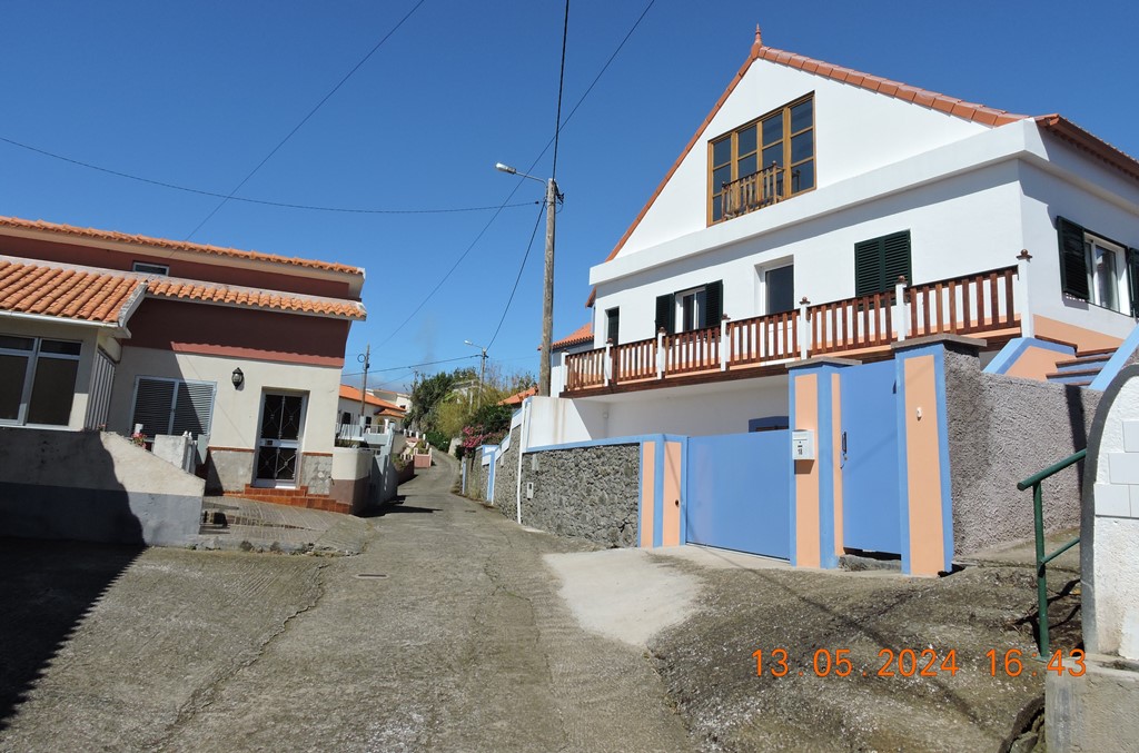
Estreito da Calheta is a Portuguese parish in the municipality of Calheta, with an area of 13.4 km² and 1,607 inhabitants (2011). Its population density is 112.2 inhabitants/km². It is located at latitude 32.71667 (32°43') North and longitude 17.2 (17°12') West, at an altitude of 0 meters. Estreito da Calheta with a street that connects Calheta and Funchal. The area is made up of agriculture. It has a coast on the Atlantic Ocean to the south. There are mountains to the northeast.
History
The name of the parish of Estreito da Calheta originated from its orographic conditions, as it is characterized by a deep valley, similar in appearance to a gorge. According to some sources, settlement occurred at the beginning of the second half of the 16th century.
Among economic activities, agriculture stands out, with vineyards and sugar cane playing a fundamental role. Sugar was, for centuries, considered white gold and in other times it was exported in exchange for Flemish art today exhibited at the Museum of Sacred Art, in the city of Funchal.
The São Bartolomeu stream, to the east, divides the Estreito da Calheta from the Parish of Calheta, and the Ribeira Funda, to the west, divides it from the Parish of Prazeres.
In addition to the Rabaçal Levada, the Estreito da Calheta is irrigated by the Levada dos Moinhos, Levada Nova, Levada do Ribeiro do Farrobo, and Levada dos Ferreiros.
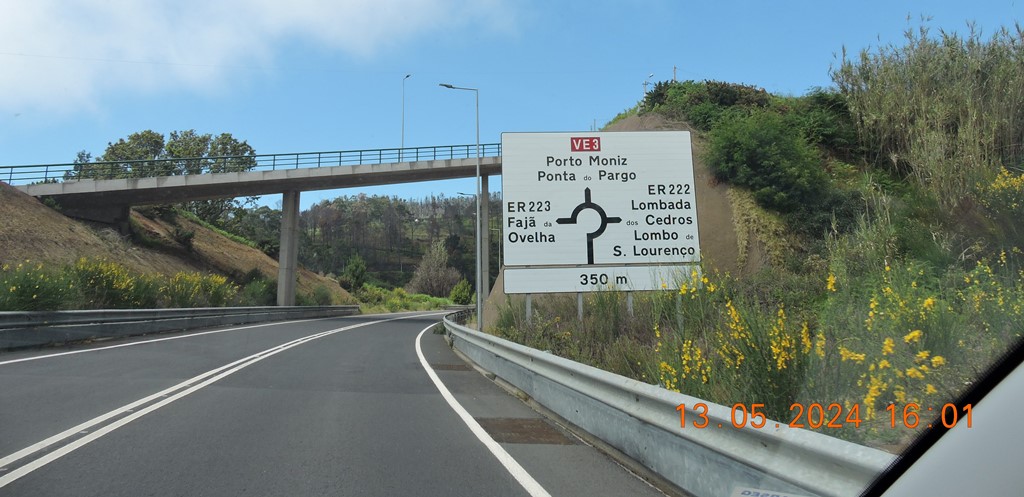
Fajã da Ovelha is a parish in the municipality of Calheta, in the Autonomous Region of Madeira, with an area of 24.0 km² and 812 inhabitants (2021 census). Its population density is 33.8 inhabitants/km².
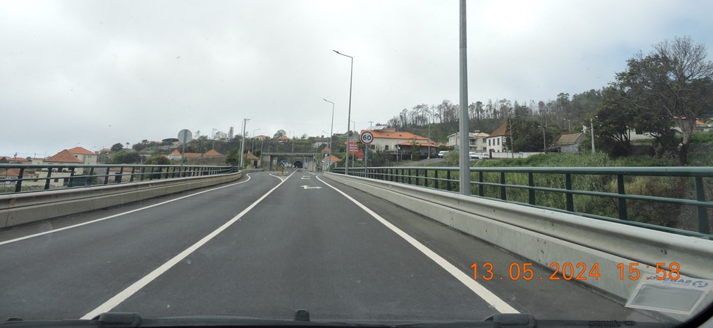
It is located at latitude 32.7667 (32°46') North and longitude 17.233 (17°20') West, at an altitude of 76 meters. Fajã da Ovelha has a road that connects it to Porto Moniz, Paul da Serra, Calheta and Funchal. The main activity is agriculture. It has a coast on the Atlantic Ocean, to the south. There are mountains to the north.
Patrimony
São João Baptista Church Santo António Church São João Baptista Church Chapell of São Lourenço
Butter Factory
The Fajã da Ovelha Butter factory was built at the beginning of the 20th century, around 1910, by Augusto César de Gouveia and his son Pedro de Gouveia. Augusto Gouveia was a farmer and was an important person, as, among other services provided to the population, he created a cordon sanitaire on the boundaries of the municipality of Calheta, preventing the spread of a fever that devastated the region at the end of the 19th century. Augusto ended up passing away on the Continent, where he was undergoing treatment, but his body was transported to Madeira, being buried in his parish of Fajã da Ovelha. His son ended up being the main driver of Fábrica da Manteiga; This is located on the S. Lourenço site and consists of two floors. On the first floor, butter was produced and on the second floor, dough was produced. There is also a dirt pit where they worked the “leaf” to create the cans to package the butter, “Ague Butter”. Then, with the Second World War, there were no more raw materials to produce butter cans, so they built a sawmill behind the factory, where they began to make wooden boxes and these were wrapped in butter paper. A particularity is that this factory was the first building in the parish of Fajã da Ovelha to have electrical energy, it was produced through water that made the generators move. This factory was very important for the economy of Fajã da Ovelha and Ponta do Pargo, where butter was sold to Funchal and the Continent. Over the years, the factory ended up being sold, having just stopped working in 1960, and was finally sold to an American in 1974. Today it is for sale and abandoned.
Equipment
Fajã da Ovelha has a Casa do Povo, a school, the Basic School for the 1st, 2nd and 3rd Cycles/PE Professor Francisco M.S. Barreto - Fajã da Ovelha, two recreational associations, the church of São João Baptista and Santo António, two chapels (Chapel of São Lourenço and Capela da Nossa Senhora da Aparecida), two sports facilities, several tourist inns, guesthouse tourism, restaurants, bar snacks, leisure areas, such as Fonte do Bispo and Cruzinhas, viewpoints, stately homes and an excellent climate and stunning landscapes.
The various places are:
Maloeira, Raposeira do Lugarinho, Raposeira do Serrado, Lombada dos Cedros, São Lourenço, Massapez, São João, Eirinhas, Farrobo, Falcões and Lombada dos Marinheiros.
Ponta do Pargo is a civil parish in the municipality of Calheta in the Portuguese island of Madeira. The population in 2011 was 909, in an area of 24.71 km2. It is located west of the municipal seat of Calheta, and southwest of the municipality of Porto Moniz.
History
The name of the parish came from early explorers to the western tip of the island of Madeira, whom fished the waters and caught a species of porgy.
"From Calheta, the captain passed below an area that ended at a point over the sea...and being here, they collected from the boat of Tristão and the boat of Álvaro Afonso a fish that looked like porgy, of a marvellous greatness and the largest that, until that time, was ever seen; for this reason, because of the fish, the point was named porgy. From this Ponta do Pargo look to the North until another point, whose distance one says is two, other say three, leagues..."
The settlement began with Garcia da Câmara, son-in-law of João Gonçalves Zarco, who here began establishing small estates run by colonists who tilled the land. Many of the lands in the parish were originally in the name of Garcia da Câmara and Afonso Henriques, Master of Alcáçovas (dated to the 16th century).[3] The date for the creation of the parish remains a mystery. In the opinion of Father Fernando Augusto da Silva, it occurred in the late 1560s, since the regal document on 4 March of the same year referred to the congregation of this parish. Meanwhile, the lands of the civil parish pertained, at the time, to the neighboring parish of Fajã da Ovelha.
The parish of Ponta do Pargo was incorporated into the municipality of Porto Moniz, between 31 October 1835 and 1849, until that municipality was suppressed during the administrative reforms of the Liberal regime. Porto Moniz, along with Ponta do Pargo, therefore began to function as a part of the much larger municipality of Calheta. The restoration of the municipality of Porto Moniz in 1855, resulted in the reincorporation of the parish of Ponta do Pargo. On 26 June 1851, Ponta do Pargo was separated from Porto Moniz and reintegrated into the municipality of Calheta (as it remains today).
Owing to the extreme geology of the western coast, with its cliffs and rocky coast, a lighthouse was constructed in the heights of Ponta da Vigia, at the extreme westerly promontory of the parish, inaugurated on 5 June 1922.
Geography
Ponta do Pargo is a diamond-shaped territory on the western edge of the island of Madeira. From its high-altitude cliffs it extends into the interior along escarpments cut by several river valleys to the Serra do Paul. The northwest-to-southwest border fronts the Atlantic Ocean, while its northern frontier is limited by its border with the municipality of Porto Moniz (Porto Moniz) and Fajã da Ovelha (within the municipality of Calheta. The cliff-top bluffs reach a height of 392 meters above sea level, while its interior extent reaches an altitude of just over 1321 meters. The most westerly extent, the Ponta in the parish's name, bears a lighthouse.
Ponta do Pargo is identified by several localities scattered throughout the central band of the regional roadway; residential agglomerations that include: Cabo, Lombada Velha, Ribeira da Vaca, Serrado, Salão, Corujeira de Dentro, Corujeira de Fora, Lombadinha, Amparo and Lombo.
About 20% of the inhabitants of the parish are children and youth (less than 15 years), 55% are active adults, while seniors make-up 25% of the population.
Economy
Its main industry is agriculture, although it is supported by a vibrant commercial industry localized in the localities of Ponta do Pargo, Ribeira da Vaca and Lombada Velha. Agricultural production and support of dairy herding are the primary activities, that, support the butter industry, but the area is known for its diverse cultivation of tubers and legumes, including sweet potatoes, carrots, wheat, grapes, and apples. Civil construction is one of the most important activities economically, employing a large portion of the active population. Social services are provided by the Social Centre and Casa do Povo da Ponta do Pargo, including homecare and assistance, while healthcare services are provided by the local Health center located in Calheta.
Architecture
Civic
Farol da Ponta do Pargo (English: Ponta do Pargo Lighthouse) - Located at Ponta Vigia, a rocky cliff escarpment (290 metres above sea level), the lighthouse was inaugurated in 1922, its silhouette has dominated the skyline of this escarpment. Its light is 312 meters above sea level, sometimes becoming enveloped by fog but an important signal for seafaring ships.
Centro Cívico da Ponta do Pargo (English: Ponta do Pargo Civic Centre) - Built through an investment of 8 million euros, it is located in front of the parochial church and was inaugurated on 13 September 2006. The modernist design houses the local Health Center, the Junta de Freguesia, Casa do Povo, Day Centre, Social Services, and Social Security Centres, while an auxiliary building includes a gymnasium.
Religious
Church of São Pedro (English: Church of Saint Peter) - Once a chapel dedicated to Saint Peter, it was expanded and remodeled, but reconstructed by order of the Conselho da Fazenda on 20 July 1620, and completed in 1690. In 1851, new works to repair the buildings were completed. Oral tradition indicates that the constructions and remodeling occurred in three different places within Salão (in Pé do Pico, later Achada da Igreja, and finally in its present location), although no records provide dates for its original construction or these latter remodeling projects associated with the different locations.
Chapel of Nossa Senhora do Amparo (English: Chapel of Our Lady of Amparo) - The ecclesiastical parish of Amparo, created by the Bishop of Funchal, David de Sousa, in 1960, includes the civil parish of Ponta do Pargo, and the chapel was constructed in the 20th century in a simple modernist style.
Culture
The patron saint of the parish is Saint Peter, on which an annual festival is celebrated on 29 June. Other religious celebrations are important throughout the parish, including the romeiras or processions that travel from church to church throughout the island, annual celebrations at the churches of Nossa Senhora da Boa Morte (Cabo) in July and Nossa Senhora da Boa Viagem (Amparo) in August.
Non-secular highlights include primarily the Festival of the Pêro, an agricultural festival dedicated to the apple, held annually in September in the locality of Salão. Culturally, the parish is supported by a dynamic collectivity, the Associação Desportiva e Cultural da Ponta do Pargo, established on 16 July 1999, which promotes and develops sports activities within the parish. Similarly, the Grupo de Cantigas Norte a Sul da Ponta do Pargo also establishes a collective support for the arts and music.
Ponta do Pargo Lighthouse
Viewpoint
32.814061, -17.263505
Situated on the westernmost tip of the island of Madeira, the Ponta do Pargo Lighthouse Viewpoint offers a panoramic view over the Atlantic and the rock formations that mark all its surroundings. It is a unique place that deserves a careful visit.
This viewpoint is located at Ponta da Vigia, the westernmost cape of the island. It stands on top of a cliff at an altitude of 290 meters, allowing a view to the surrounding coastal area, marked by imposing cliffs and points of interest such as Achadas da Cruz, which belongs to the municipality of Porto Moniz.
As per its name, the location of the Ponta do Pargo Lighthouse Viewpoint is marked by the presence of a historic lighthouse. This infrastructure, which dominates the cliff top, came into operation in June 1922. The tower is 14 metres high and the light is at an altitude of 312 metres.
It has been classified by the Regional Government as a Heritage of Local Value. Next to the Ponta do Pargo Lighthouse Viewpoint there is also a small museum. Created in 2001, it exhibits pieces related to Madeira's lighthouses, as well as photographs and documentation dedicated to the topic.
Details
The Ponta do Pargo Lighthouse Viewpoint is located on the westernmost cape of the island of Madeira. It allows you to see the magnificence of the coastal cliffs as far as Achadas da Cruz.
Miradouro do Fio
(Fio Viewpoint)
32.809274, -17.256781
This attraction is very close to the Ponta do Pargo Lighthouse, which is the extreme west point of Madeira. The view from the viewing platform is sensational.